Wind River Mountains: Scab Creek Trailhead 8/15/22
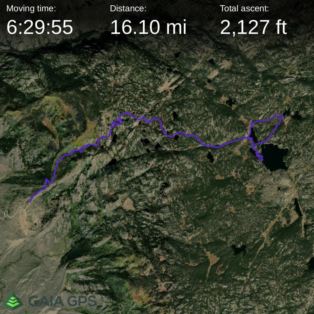
I drove up the night before with the trailer to explore the winds a bit while Tammy and Anna went to California. I camped at the BLM campground at the trailhead which was free, what an awesome use of tax dollars! I arrived as it was getting dark and pulled into the large vehicle campground since it was the first one you encounter when driving in. I parked in site #1 after making a loop through to check all the sites since it seemed to be one of the best, away from all the others, great view and a couple of aspens for potential shade. I wanted cell phone service since I had some work outstanding and I had excellent service here, so went for it.
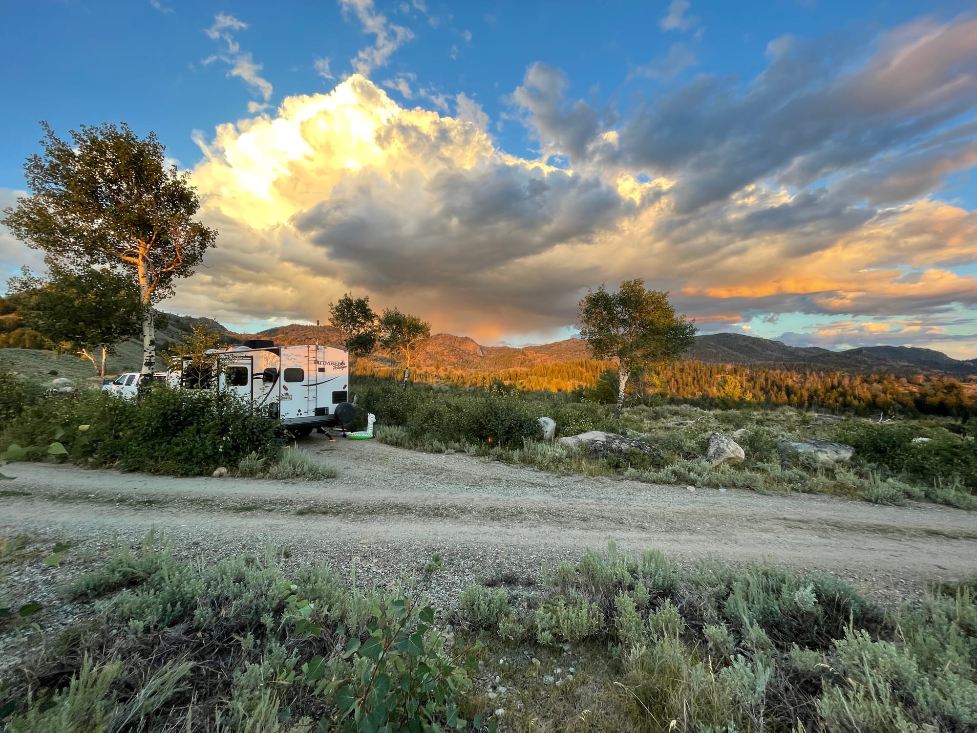
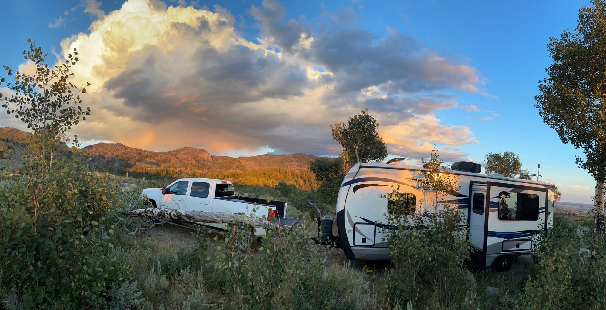
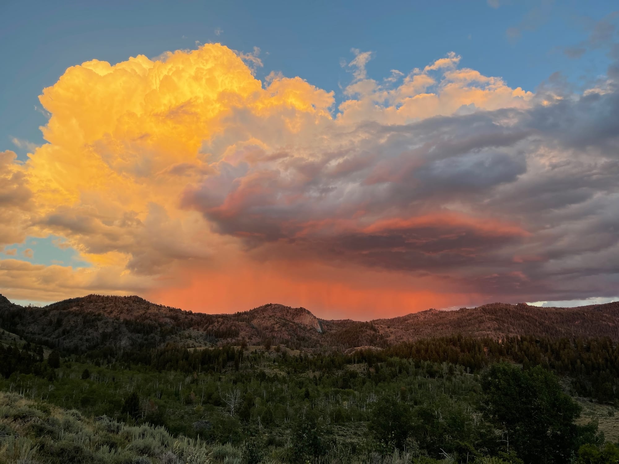
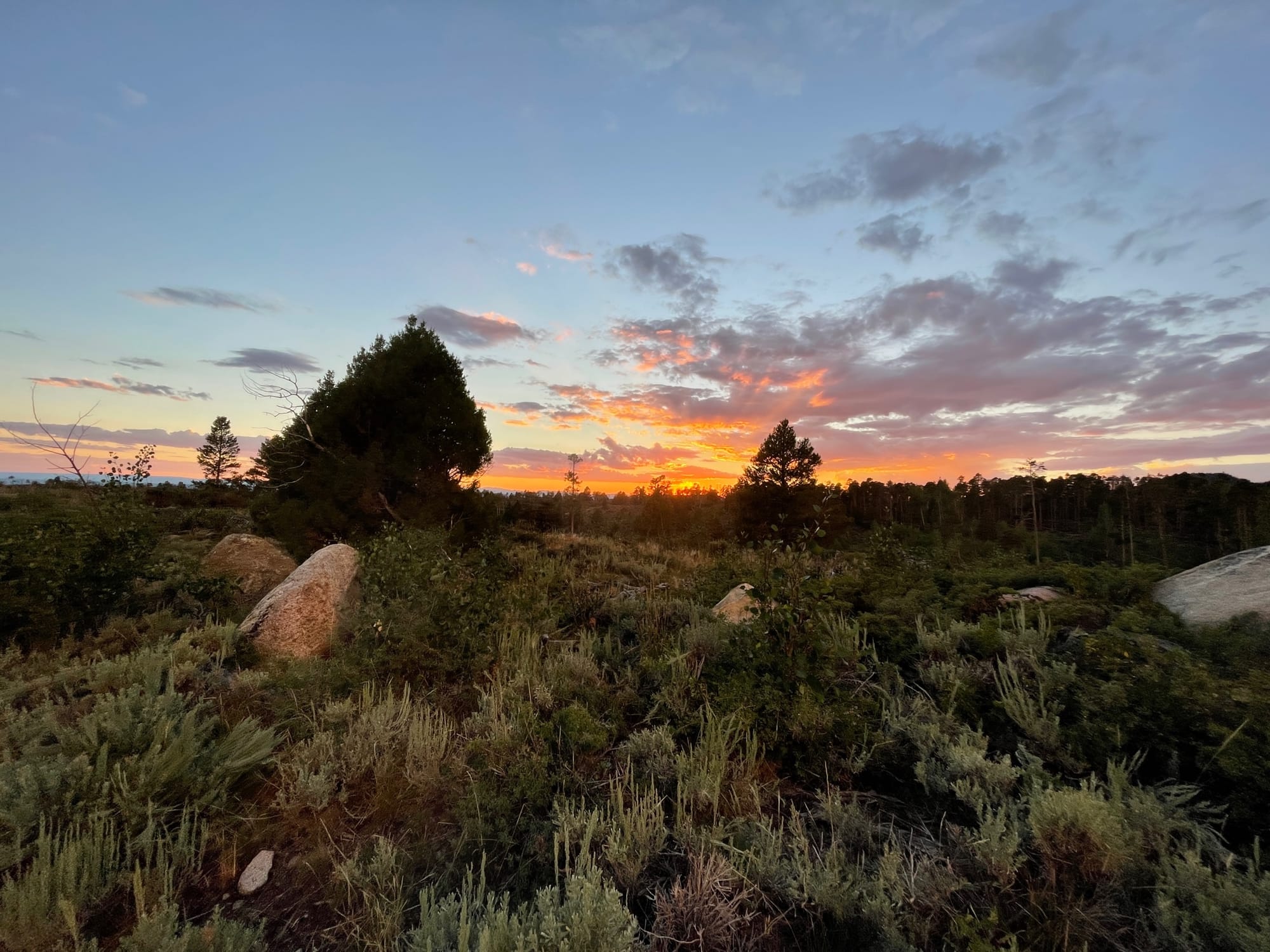
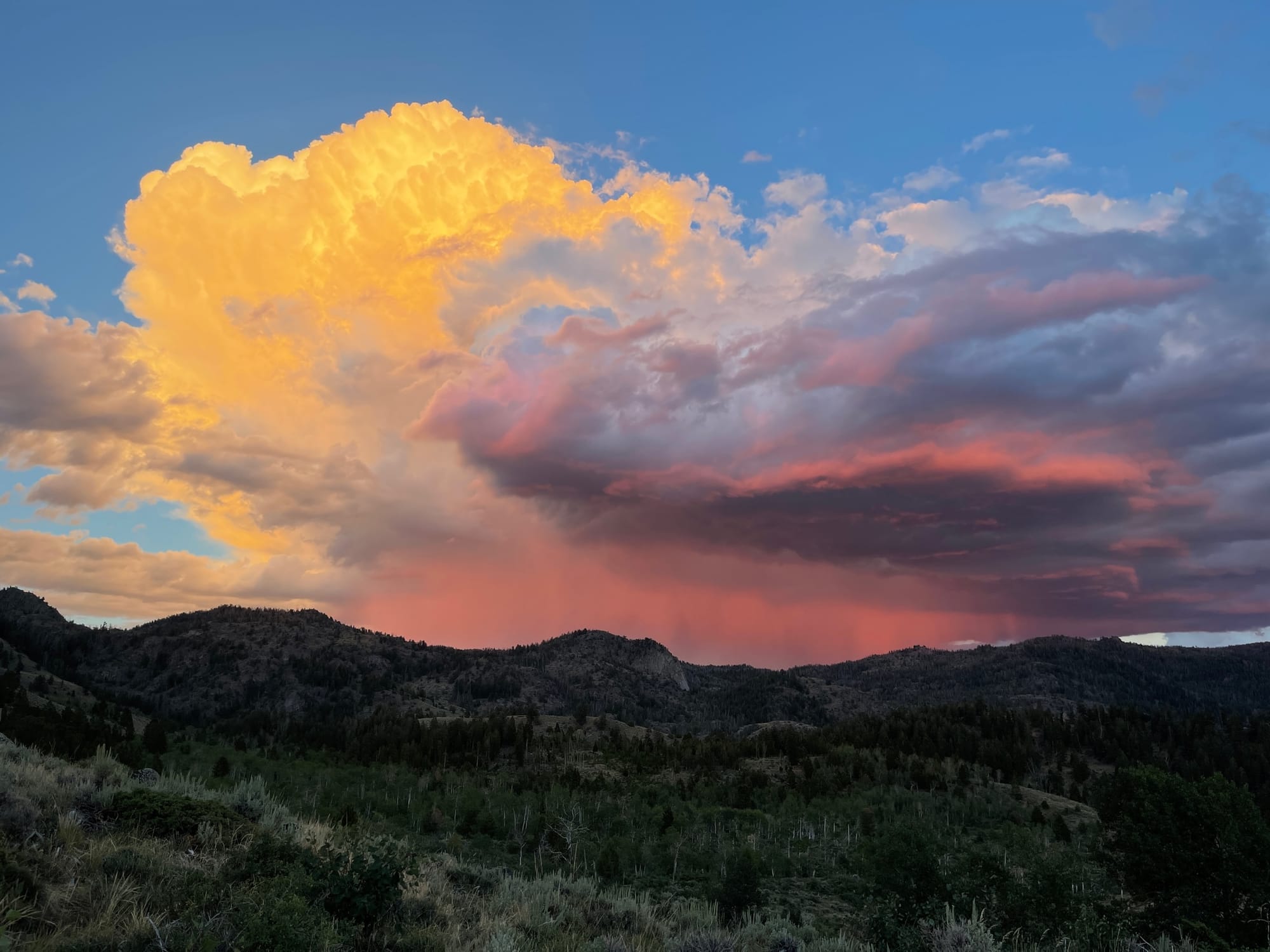
This campground didn’t have much shade and was pretty exposed, conversely it had incredible views of the valley below and the foothills of the winds. The day I was leaving I drove through the small vehicle campground which was tucked up further in the pines and aspens and it definitely had some great spots with shade and still good cell coverage, so if I end up here again I’d probably stay there (oh well, my spot was pretty sweet anyway). Both of the campgrounds were almost empty, with only a group or two. It was also obvious that not a lot of people stay here since there was a lot of overgrown grass around the picnic areas and even a downed tree in my driveway. A few pics of the campsite and sunset:
The next morning I woke semi early, made coffee and dealt with a bit of work. To this point, I didn’t have a specific destination, which is common for my jaunts into the woods. I had studied the area maps extensively and had a few lakes and areas that I wanted to check out and would make the final decision once I got in a bit and could evaluate the terrain better. I loaded everything up for hiking, mushroom hunting and fishing and headed up the trail around 10:30 a.m. I wanted to be hiking earlier than that, but I was enjoying a leisurely morning in a beautiful location.
I chose the Scab Creek Trail because I knew it was somewhat off the radar, yet still not too far of a drive from the paved roads. It also looked like it was reasonable in elevation, but it turned out to be lower than I thought around 8,200 feet so there would be a pretty significant elevation climb just to get into the beginning of the range as is typical of the Wind River Mountains. It was definitely light on traffic, with only a handful of cars and pack stock vehicles parked at the trailhead.
The trail starts in a mix of sagebrush transitioning into aspens and conifers. It gets into tree cover relatively quickly and remains pretty shaded for the most part during the climb. There was an initial climb, a leveling off and then another switchback climb and another leveling off and another climb if I remember right. The second and third climbs were the steepest and then it was more of a progressive gradual ascent.
As I was entering the forest, my radar was up for mushrooms since that was one of my primary goals of this trip. I was after Boletus Edulus aka Porcini aka King Boletes. It had been a very wet and early monsoon season both here and in Utah so far and I had already had some good success on my mushroom hunts in the Uinta Mountains. As I ascended, I immediately started finding Leccinum Insigne aka Aspen Boletes aka Scaber Stalk Boletes. These are edible, but apparently a small number of people have stomach issues with them so I pass on them. They are cool looking mushrooms though and there were some perfect specimens all over in the aspen trees.
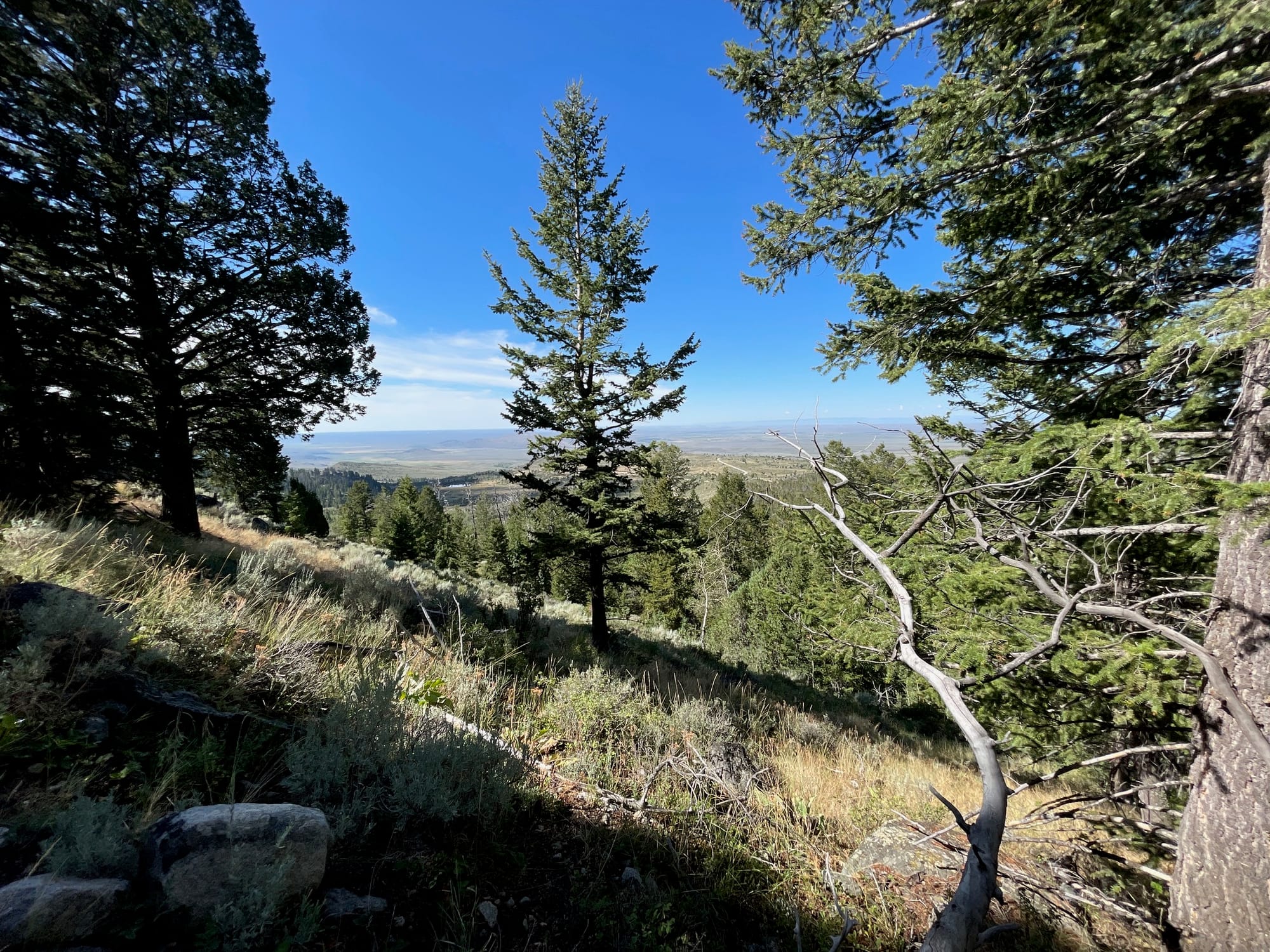
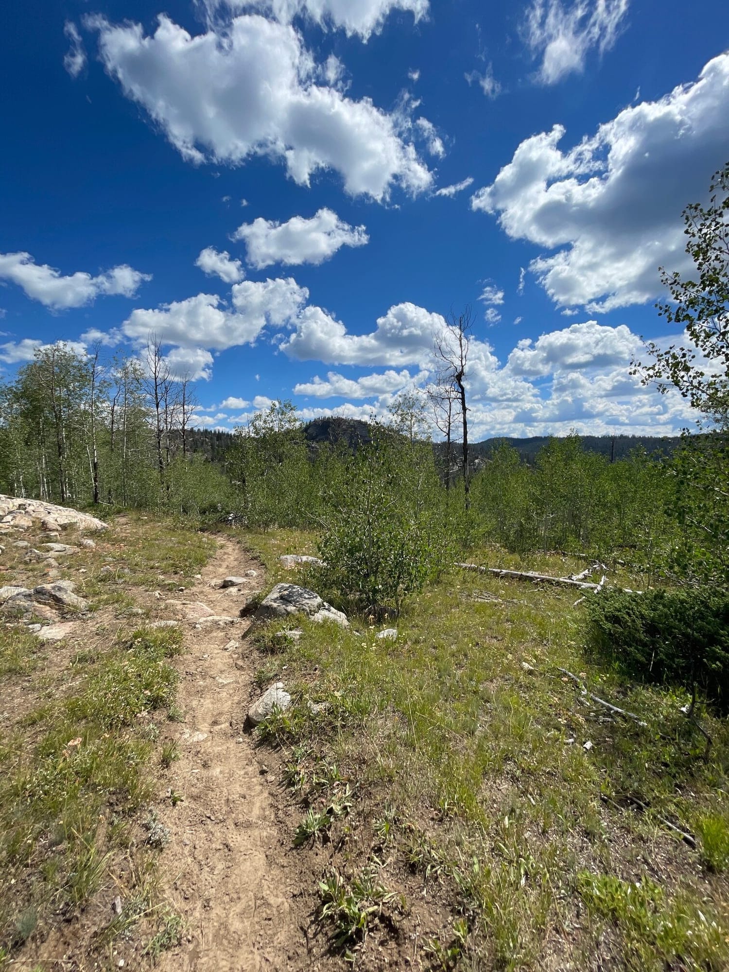
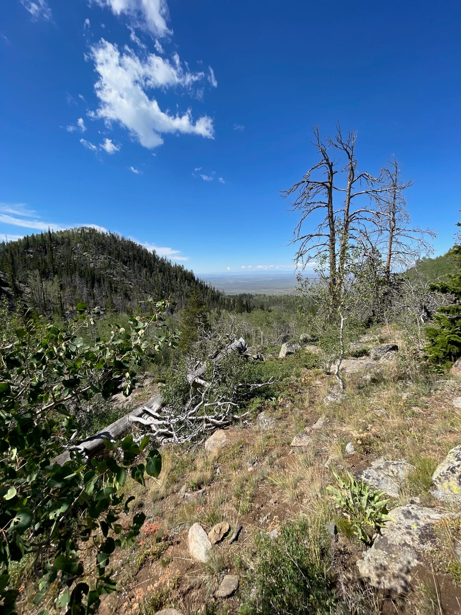
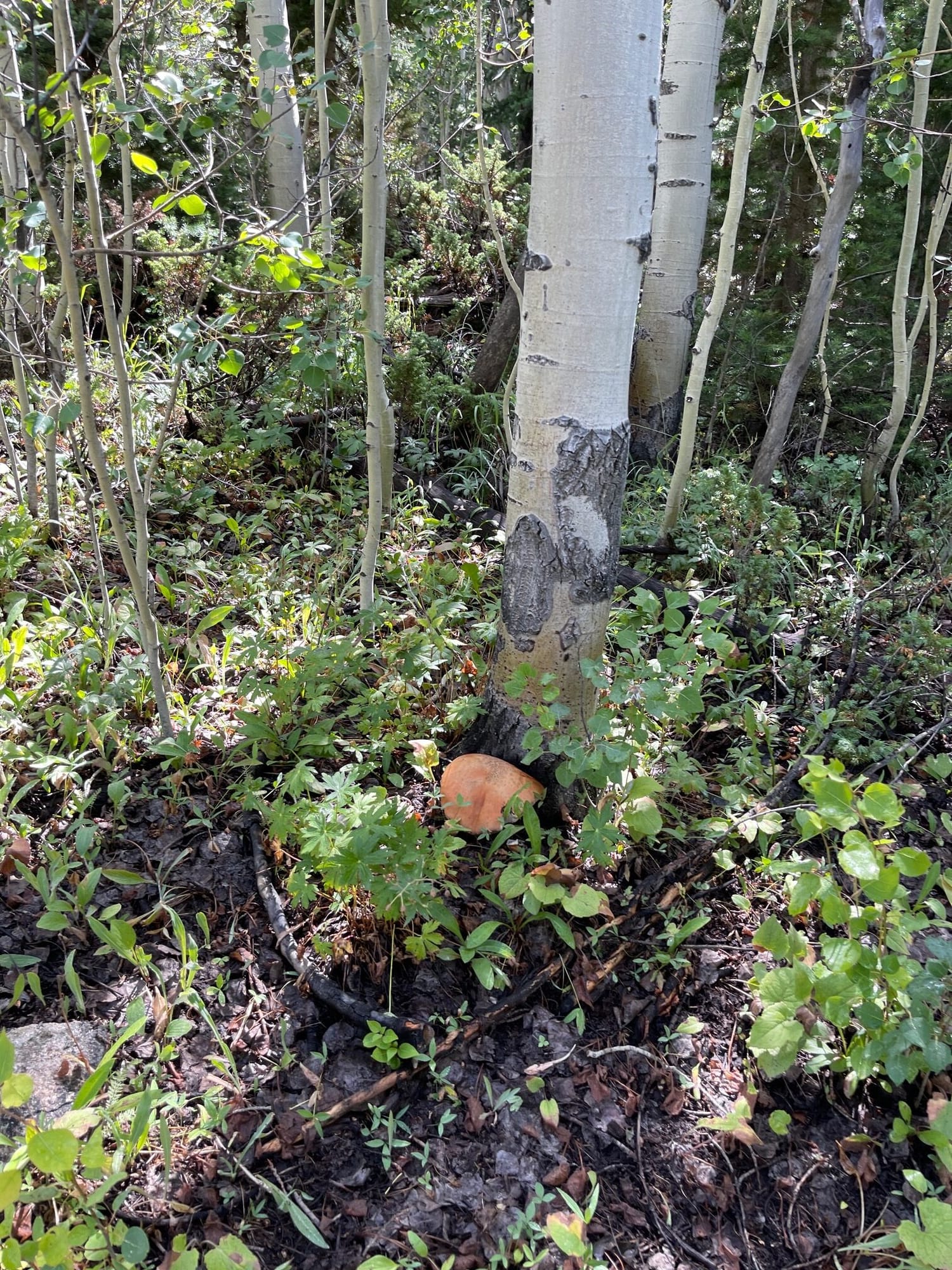
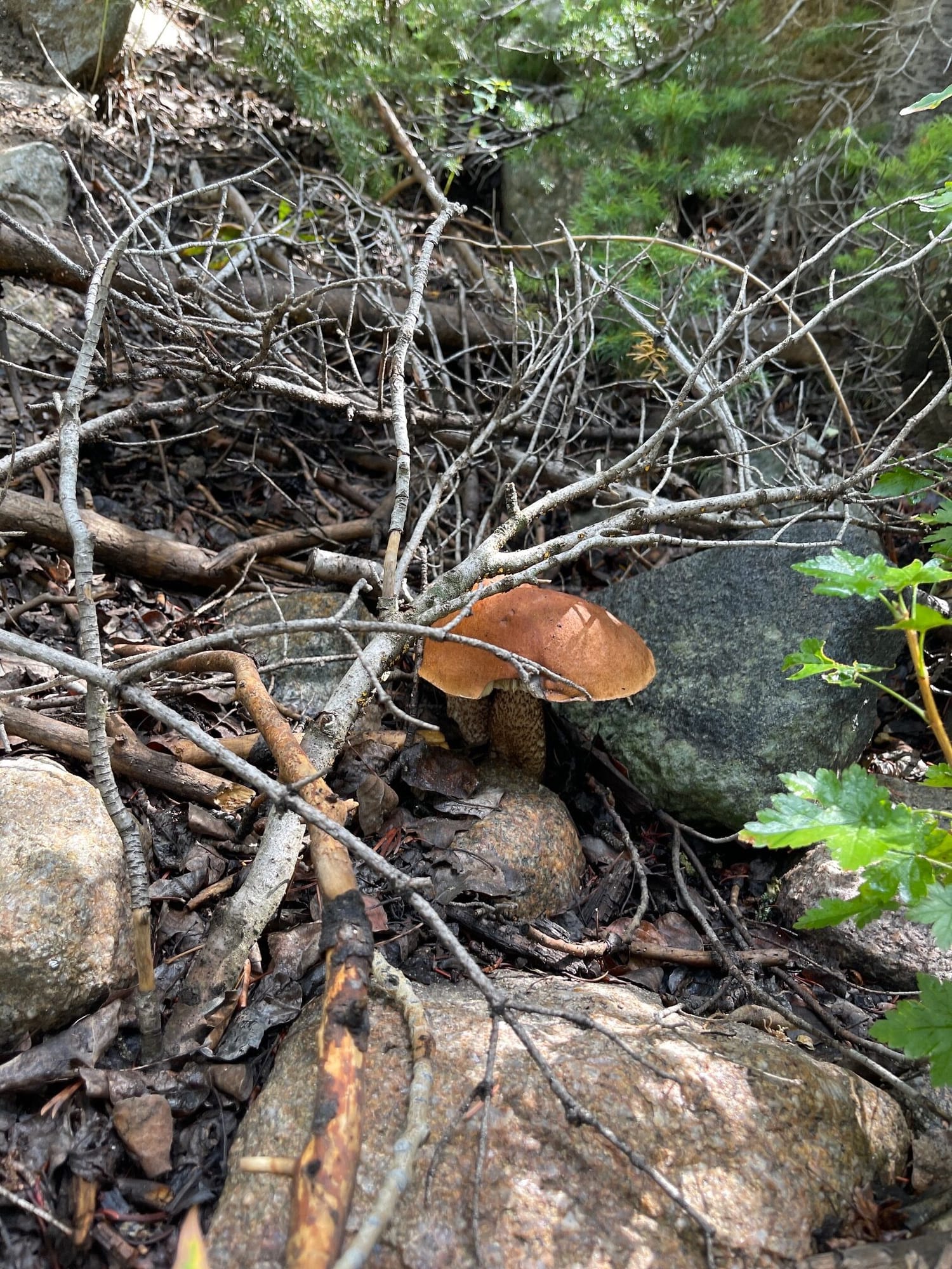
First ascent in, valley views and Leccinum starting to show up
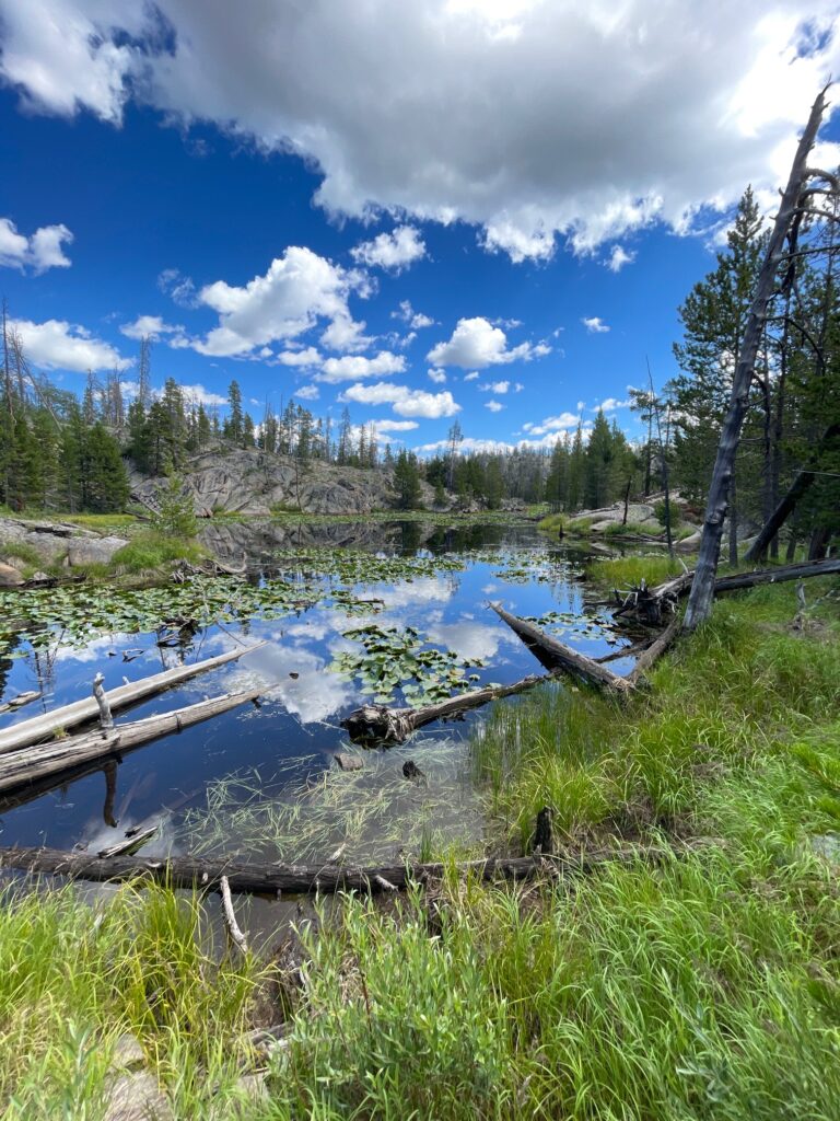
As I cleared the steepest section, the trail started to level out a bit and I was conifers began to take over. I had passed a few backpackers on their way out, and my pace was relatively fast so I began to gain on a couple that was backpacking in. I startled the guy who was behind since he was pretty focused on slow hiking and I wasn’t very loud. As I passed them, I started arriving in meadow and stream valley type terrain ideal for Boletus. Writing this a week or so later, so don’t recall all the details here but reviewing photos and track to refresh my memory. I left the trail in this area to do a short jaunt around some meadow terrain similar to where I usually find a lot of mushroom. There were all sorts of mushrooms around and eventually I found my first Boletus in this area. Unfortunately it was very wormed out and old but a promising sign. I was in the area of the Toboggan lakes and my detour took me by the edge of one of these lakes. It was in heavy timber with a lot of lily pads and some downed trees but a pretty lake nonetheless.
I swung back on to the trail despite my desire to continue to explore since I didn’t want to get very off track and the timber was thick with a lot of deadfall. Not to mention that there are grizzly bears in this area, so I preferred to stay in a trafficked area or near it. As I resumed my path on the trail, the couple had passed me since I was meandering and looking for shrooms. I came up behind them again and announced my presence early so I wouldn’t startle them and explained what I was doing. After I passed them, I arrived at another meadowy area and looked to my right and a very prominent giant hamburger bun Boletus was standing out like a beacon. This one was pretty large, but looked fresh, but when I cut into the stem it had significant worms. So far this season which has been a significant monsoon season, the amount of mushrooms that are wormed out is much higher than normal. My first trip out to the Uintas a few weeks previous virtually every one had been taken over by worms. I had taken a few home that seemed worm free but as I got further into them, wormed out. Seemed this might be continuing on that theme.
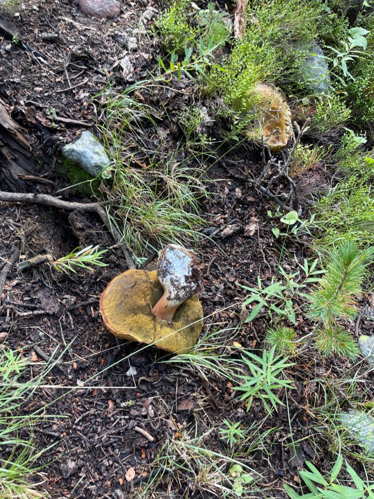
Old and wormy
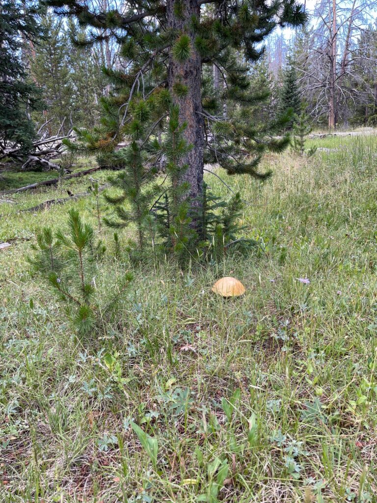
Classic hamburger bun
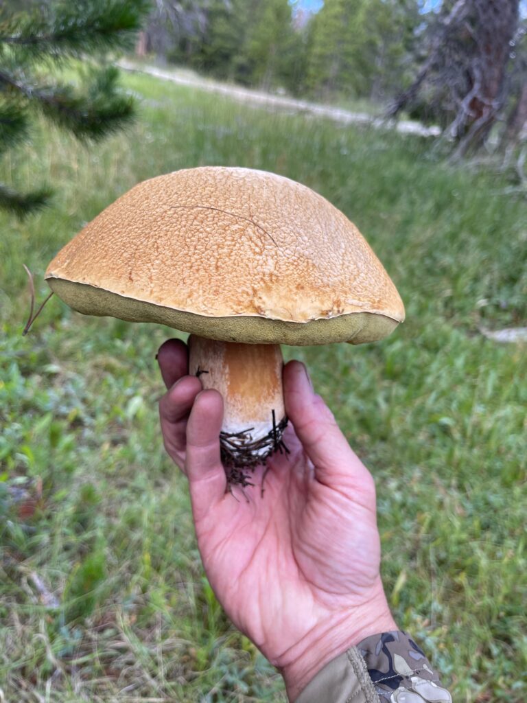
Fresh and clean looking, but still wormed out
I continued on and kept the pace brisk as I wanted to get in as far as possible to see as much of the dramatic wind river peaks as I could for a day hike. As I continued on, I found more and more Boletus including some ridiculously huge specimens. One of them was probably the largest I have ever seen, about the size of a medium pumpkin! That one was very old and wormed out though as is typical of the really large ones. At this point I was at about 9,400 ft. an elevation gain of 1,200 from the start. As I came into a small descent, perfect looking shroom valley, there were two beautiful Kings standing out like beacons on a hillside. Again, these were pristine looking beauties one of them about as perfect looking as they get. Yet again, both of them were mostly wormed out. There were parts of these that were not wormed and I cut those pieces and kept them just to have something to take back for dinner in case everything was taken over by the worms.
At this point, the trail started to get close to Scab creek and I came to the first stream crossing, an easy one with the small water. There was quite a bit of water flowing in the creek, more than I expected despite the bountiful monsoon. I was getting close to Little Divide lake at this point and was excited to see it since it was one of my “destinations” that I wanted to see. As I got close to the lake, there was a junction and I came to a relatively major canal which surprised me being several miles into the wilderness. In reflecting on this, it wasn’t surprising at all since all of this water is heavily controlled by the water users in the valleys below being the most valuable commodity we know in the arid west. This canal diverted a significant amount of water from Divide Lake (more accurately called Divid Reservoir since it is enlarged by a small dam in order to facilitate control of the flow) into the Scab Creek drainage preventing it from flowing through Little Divide lake. My mind wandered to thoughts of who originally built this canal since it was 5 miles in by trail in the wilderness. I am guessing it was likely Chinese laborers who were a big part of a lot of the infrastructure built in these mountains, but not totally sure. I would like to research the history of these water diversions further.
I continued on the trail which crossed the canal at a bridge and ascended a bit until I arrived at Divide Lake where I decided I would stop for a rest and some lunch. It is a scenic lake with some far off views of the tips of the interior peaks, but still in more timber than I had hoped. I had to make a decision at this point about how far I wanted to continue since I was hiking back out the same day. I was about 6 miles in at this point which translated to a minimum of 12 miles round trip. I decided that I wouldn’t continue much further in, but instead explore the area near the divide lakes. I went cross country for a bit to look for mushrooms and decided to follow a rough trail along the canal to the outlet of Divide Lake. I was also getting low on water at this point, so needed to decide where I was going to use my filter to fill up for the rest of the journey. I was hoping to find a spring, but the terrain wasn’t below any high peaks, so I wasn’t sure how realistic this was.
I continued on this trail to the dam at the outlet which had a lot of discarded